
Reading the Landscape from Coast to Ridge
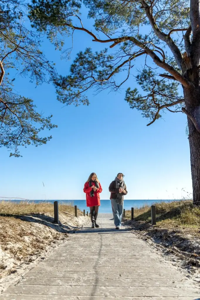
First Glance at the Shore

Climbing Through Bedrock Stories
Faults, Folds, and the Energy of Uplift
Fault Scarps, Slickensides, and Earthquake Recency
Folded Layers and Compressive Whispers
Trenches, Lidar, and Community Science on the Line
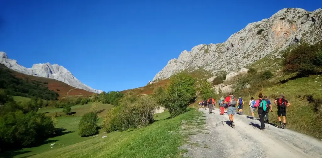
On the High Ridge: Wind, Ice, and Fire
Tools, Ethics, and Shared Curiosity
Maps, Apps, and the Power of Lidar Shadows
A topographic map sketches intention; a compass anchors direction; satellite basemaps broaden context. Yet Lidar’s fine relief unearths subdued terraces, subtle scarps, and ancient channels masked by trees. Pair shaded relief with field GPS tracks, annotating observations where light and shadow imply breaks in slope or stranded benches. Offline apps keep layers handy when clouds swallow signal. Together, these tools transform guesswork into testable hypotheses, empowering you to correlate footsteps with forms in satisfying, repeatable ways.
Field Notes, Sketches, and Repeatable Wonder
A simple notebook becomes your time machine. Date pages, log weather, sketch outcrops, and write measurements clearly with units and methods. Draw quick cross-sections and label uncertainties boldly to invite later tests. Photograph the same feature from fixed points on return hikes. Over seasons, patterns emerge, hesitations resolve, and confidence grows. The habit of disciplined curiosity sustains delight, making each valley bend familiar yet fresh, each ridge a reunion where new questions greet you like friendly, essential companions.
Respect, Access, and Stories That Include Everyone
Every landscape holds layered meanings—ecological, geological, cultural. Seek permissions where required, avoid fragile habitats, and leave artifacts where they rest. Listen when Indigenous knowledge keepers share place-based insights that predate maps. Credit collaborators, invite beginners, and welcome different abilities with route options and patient pacing. Safety briefings, shared gear lists, and rain plans turn goodwill into practice. When many perspectives walk the same path, the resulting narrative gains depth, care, and accuracy that outlasts any single observer’s stride.
All Rights Reserved.